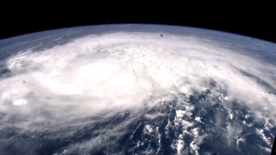
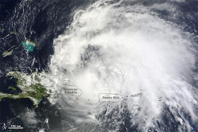
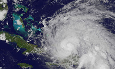
East coast US residents are bracing for a direct hit from Hurricane Irene as the storm gathers pace and strength after roaring through the Caribbean.
Irene regained force as a Category 2 storm, with top winds of 100 mph, the US National Hurricane Center said.
"Irene could become a major hurricane within the next day or so," it said.
Even as the first hurricane of the 2011 Atlantic season pounded the Turks and Caicos Islands and the south-east Bahamas with winds, rain and a dangerous storm surge, people in the Carolinas on the south-eastern US coast were readying for its approach.
At 2am local time, Irene was about 400 miles south-east of Nassau and about 975 miles south of Cape Hatteras in North Carolina.
Irene, the ninth named storm of the June-through-November season, looks set to be the first hurricane to hit the US since Hurricane Ike pounded the Texas coast in 2008. But forecasts showed it posing no threat to oil and gas installations in the Gulf of Mexico.
Irene had weakened on Tuesday to a Category 1 hurricane but could strengthen into a Category 3 storm with winds over 111mph.
The storm is forecast to approach the coast of the Carolinas on Saturday morning. After that, the already saturated New England region could be at risk from torrential rains, high winds and flooding.
Major eastern cities such as Washington and New York could be affected.
In North Carolina, Governor Bev Perdue urged residents to ensure they had three days worth of food, water and supplies.
Voluntary evacuations were to begin on Wednesday for parts of North Carolina's Outer Banks, a stretch of barrier islands and beaches that are popular summer holiday spots.
The first death from the storm was reported on Tuesday in Puerto Rico, where a woman was swept away.


No comments:
Post a Comment